Download Gravel Maps
Due to the size of the maps, all download links point to my Cloud Hoster “Strato”. From there you can make your individual selection – and download exactly what you want. With high speed!
All maps are provided in 4 versions:
- Region.EXE – Windows Installer.
- Region.IMG – ready for your Garmin Device – including height (DEM) data.
- Region-flat.IMG – ready for your Garmin Device. These don’t include height (DEM) data. For that, they are much smaller and faster, either in your Garmin or using the PC.
- Region.GMAP – MAC or Windows. New Garmin installation method. Follow installation instructions from this website.
Substitue “Region” with Central, West, Nordics aso..
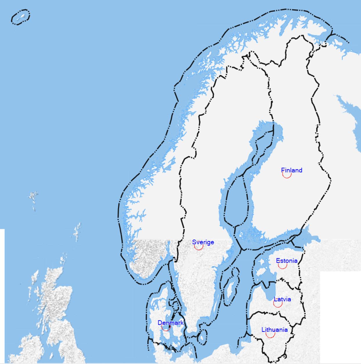
Nordic countries
Covers: Denmark; Sweden; Norway; Finland; Estonia; Latvia; Lithuania; Iceland.
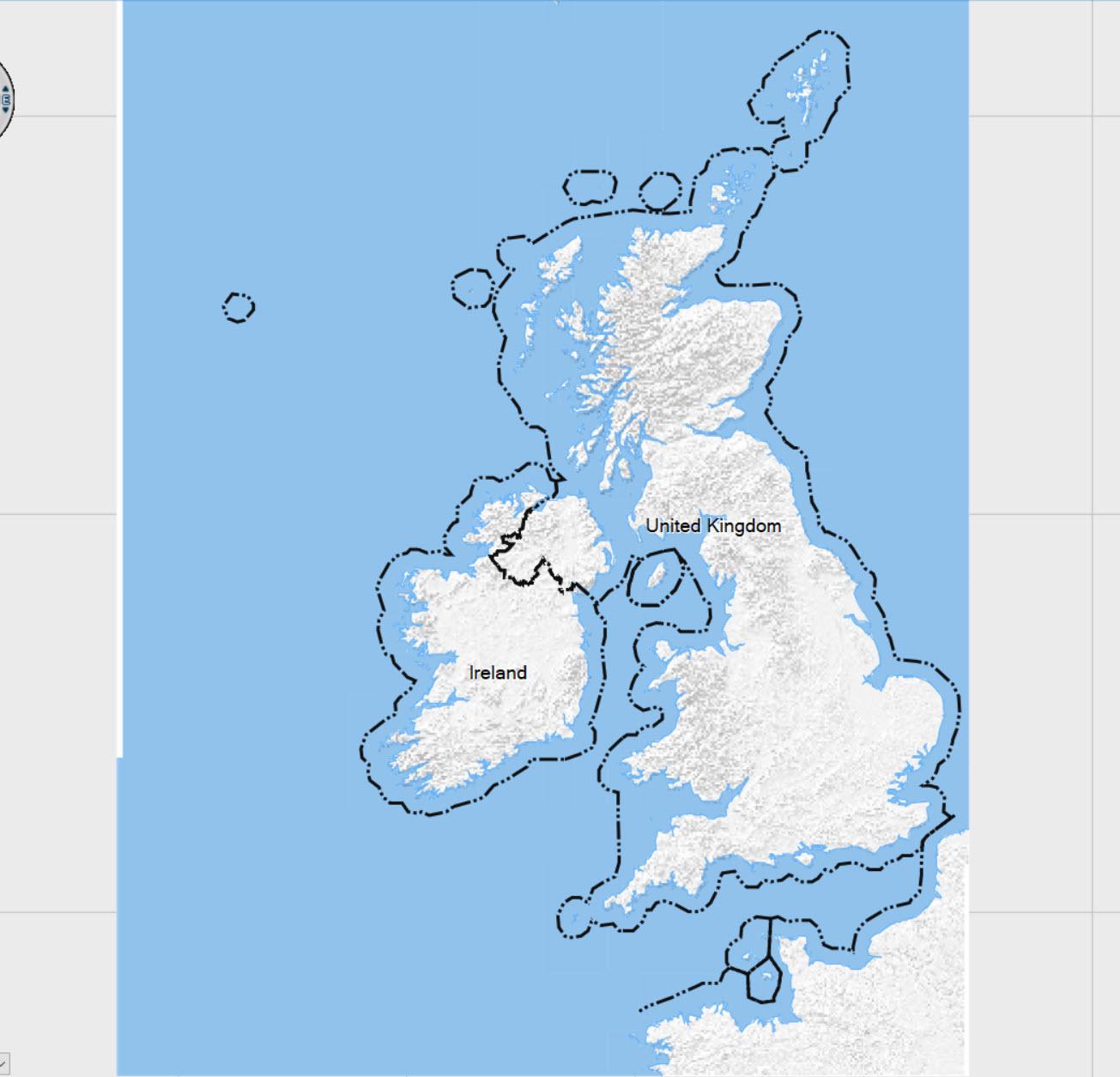
UK and Ireland
Covers: Great Britain; Ireland; Isle of Man.
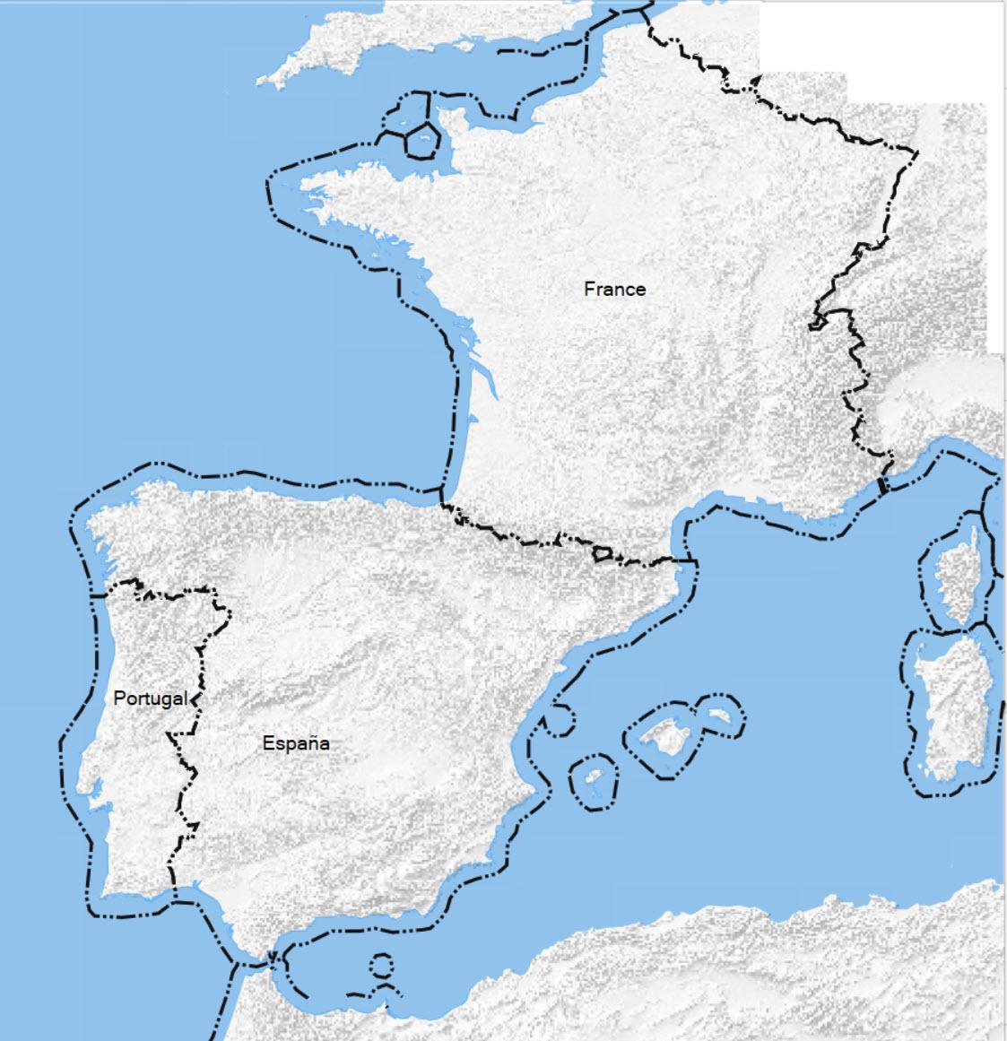
West
Covers: France; Spain; Portugal; Monaco; Andorra.
*) see comment below
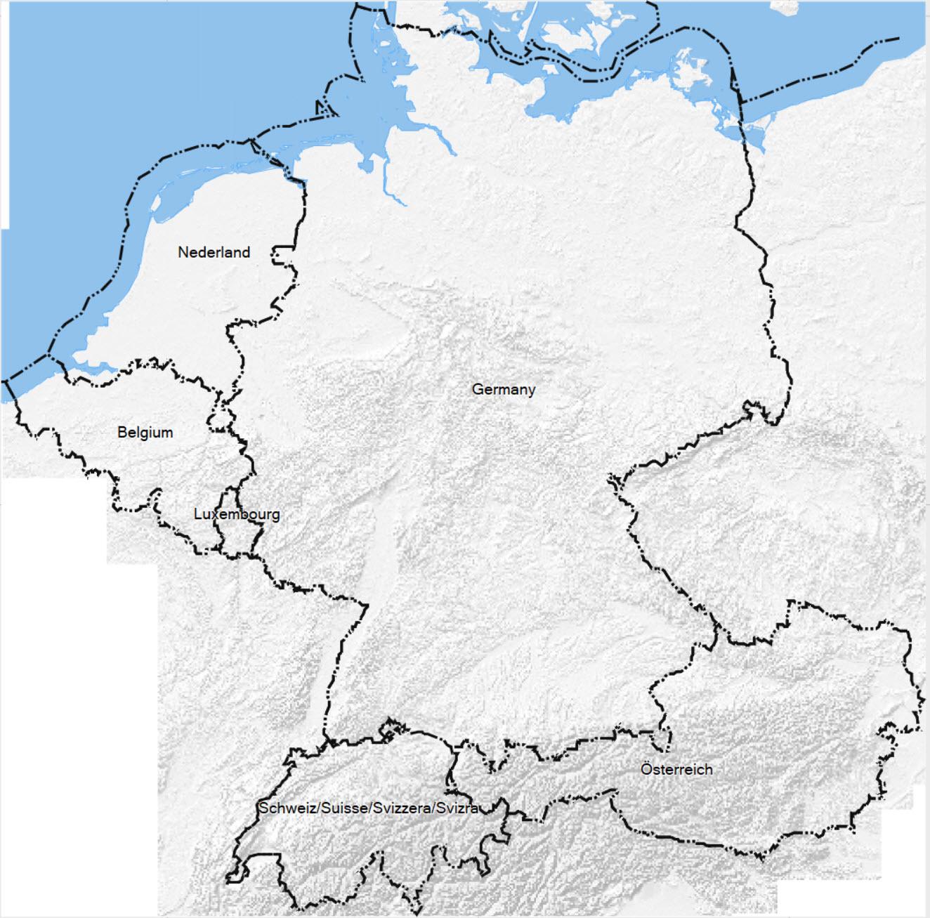
Central
Covers: Germany; Alsace; Franche-Comte; Lorraine; Austria; Switzerland; Liechtenstein; Belgium; Luxembourg; Netherlands.
The file “central.img” became too large and could no longer be loaded onto an SD card. Therefore there are two smaller maps, central_n.img (north) and central_s (south) in the download directory. Load these onto your Garmin!
Both IMG maps are also available in the “flat” version.
The map for use with Basecamp is not split!
For details read the changelog 10/2023.
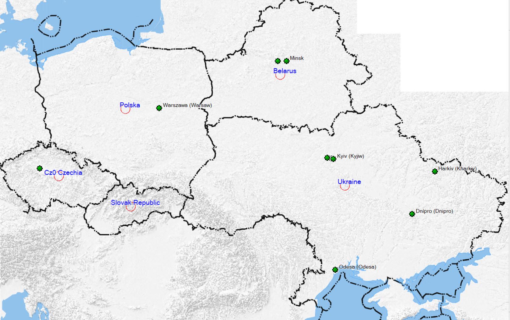
East
Covers: Poland, Czeck Republic, Slovakia, Belarus, Ukraine.
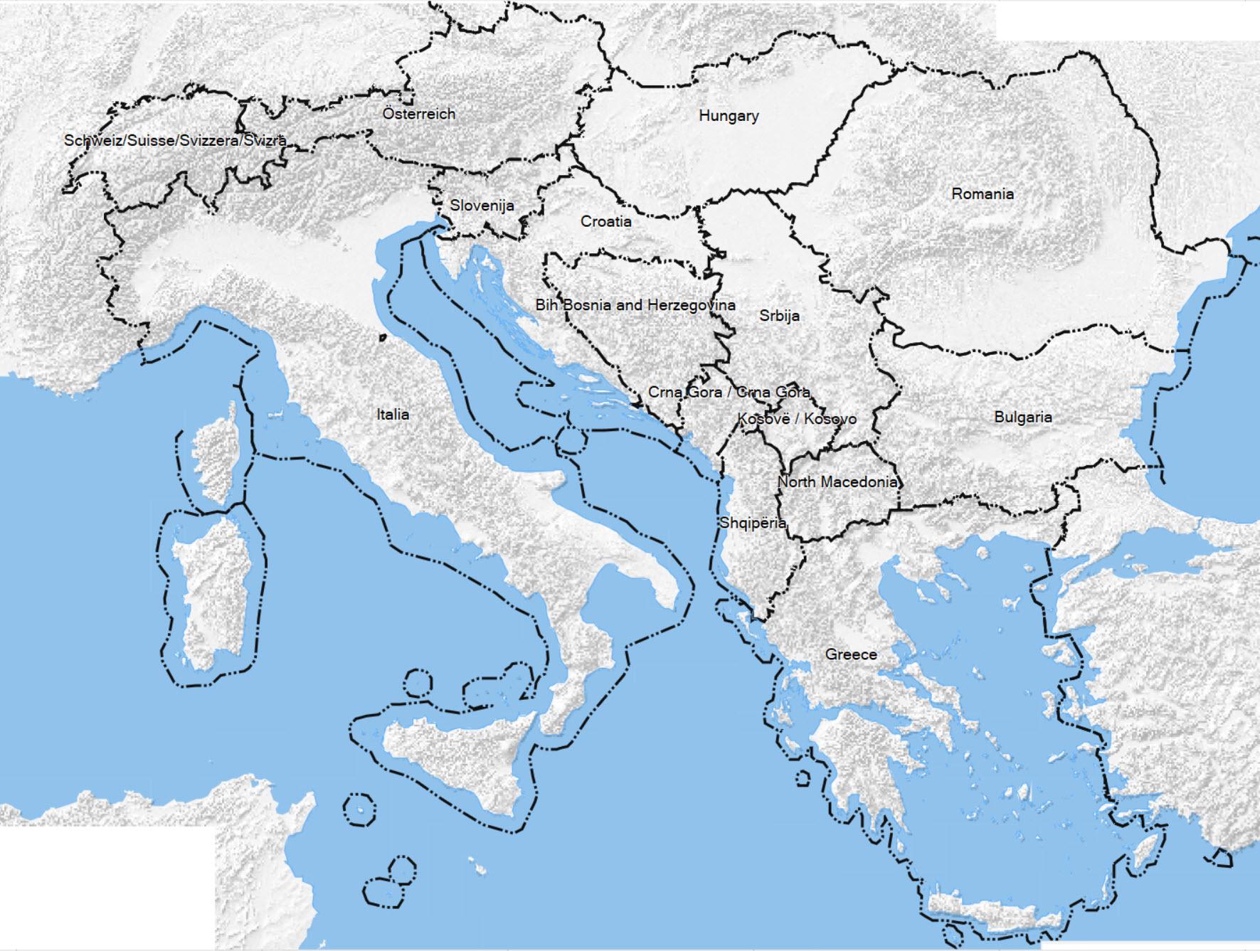
South East
Covers: Albania; Bosnia-Herzegovina; Bulgaria; Croatia; Hungary; Kosovo; Macedonia; Montenegro; Romania; Serbia; Slovenia; Greece; Austria; Switzerland; Liechtenstein; Italy incl. San Marino. France Rhone-Alps.
*) see comment below
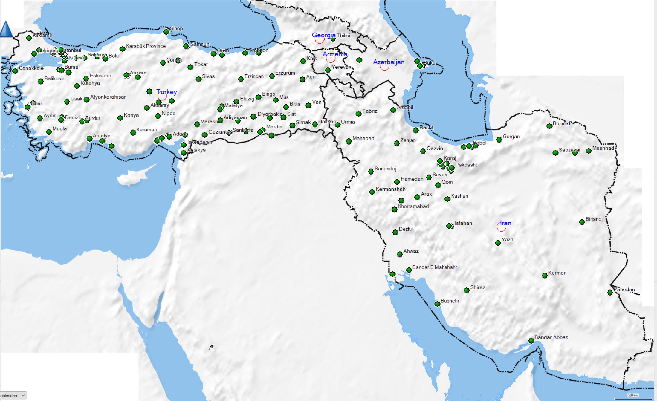
Asia West
Covers: Turkey, Armenia, Georgia, Azerbaijan, Iran
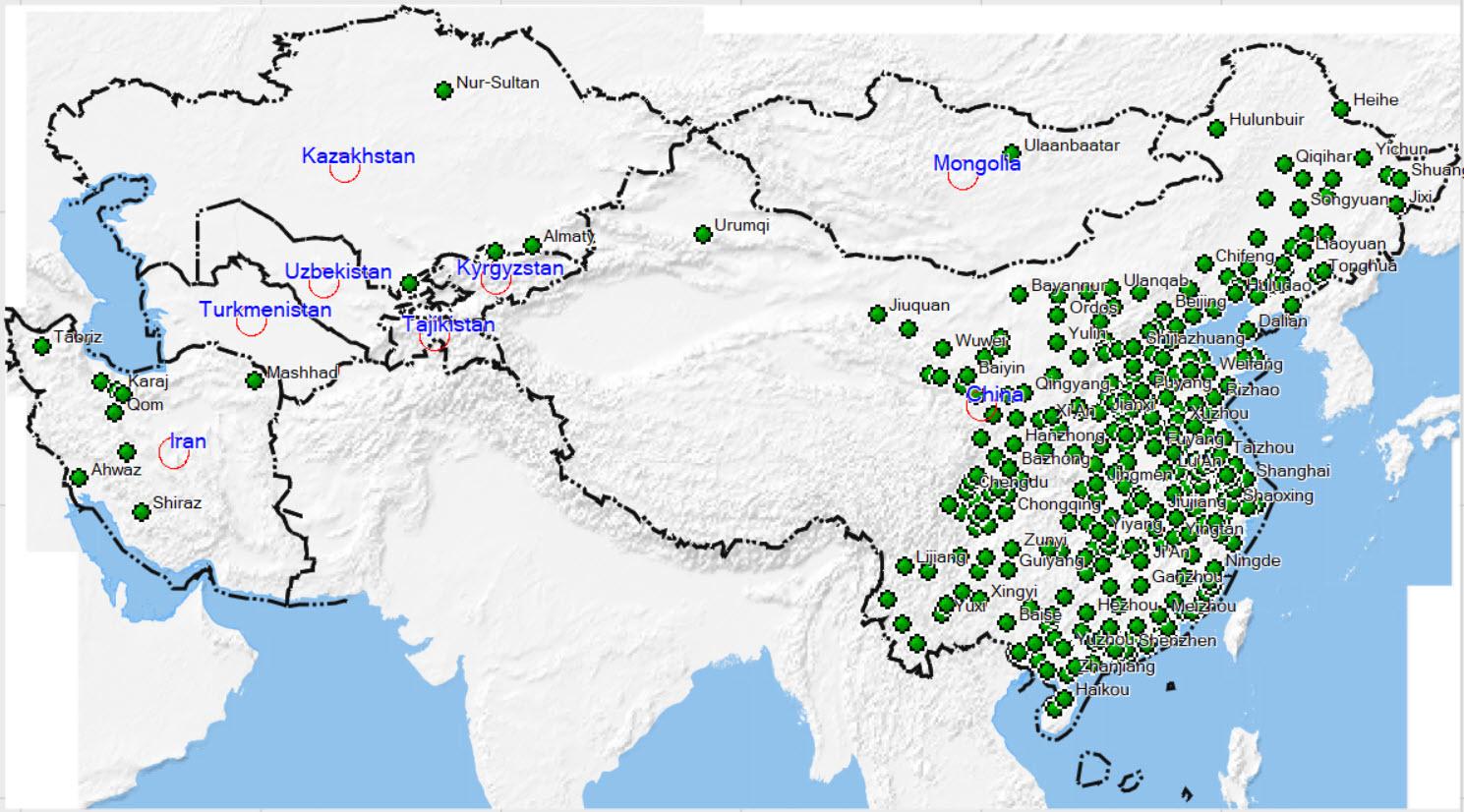
Asia Central
Covers: China, Iran, Kazakhstan, Kyrgyzstan, Mongolia, Tajikistan, Turkmenistan, Uzbekistan
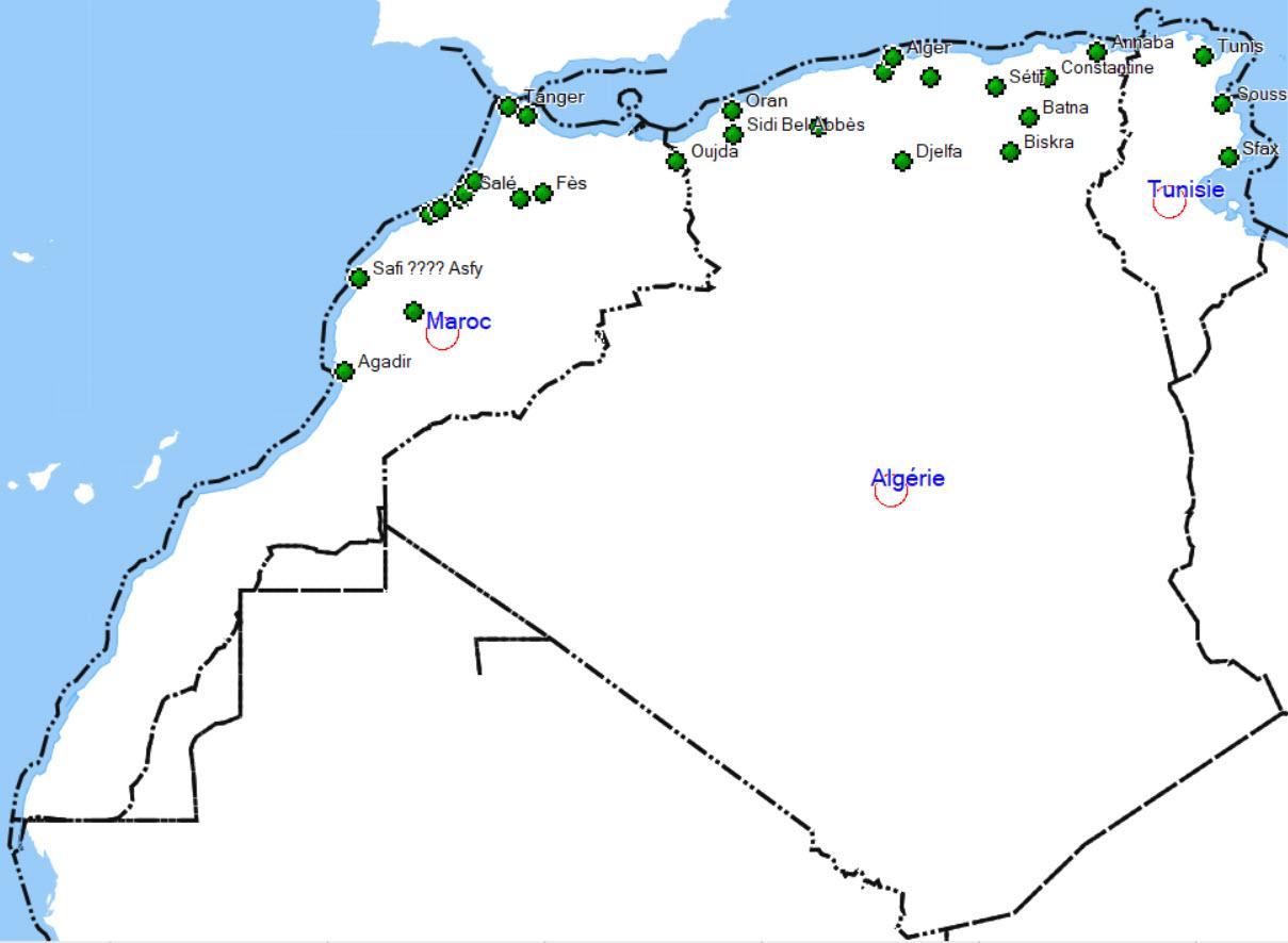
Maghreb
Covers: Algeria, Morocco, Tunesia
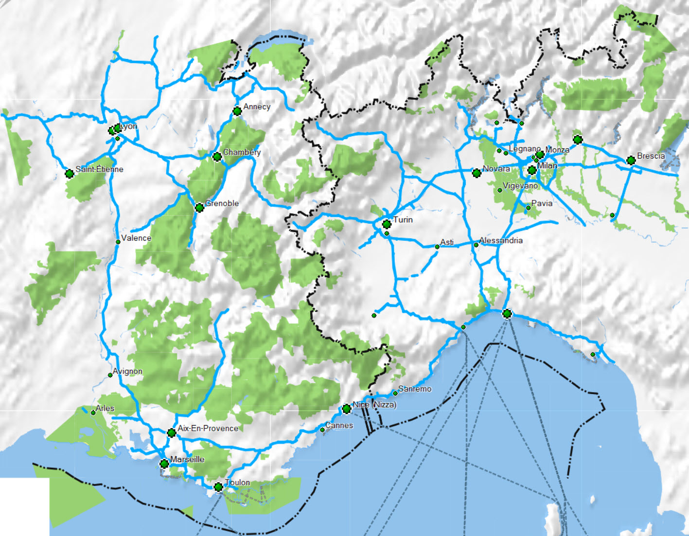
Alps West
Covers: Everything you need to ride the Assietta or the Ligurian border ridge road.
The *.img may be too large (> 4GB) for your device.
If you want to use the IMG in your decvice, use the *-flat
.img.
Its much smaller as it includes no height /DEM data.